
Page 94 - Electronic Navigation Cyber Book
P. 94
CHAPTER 9 ELECTRONIC CHART DISPLAY AND INFORMATION
SYSTEM
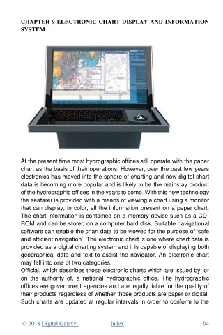
At the present time most hydrographic offices still operate with the paper
chart as the basis of their operations. However, over the past few years
electronics has moved into the sphere of charting and now digital chart
data is becoming more popular and is likely to be the mainstay product
of the hydrographic offices in the years to come. With this new technology
the seafarer is provided with a means of viewing a chart using a monitor
that can display, in color, all the information present on a paper chart.
The chart information is contained on a memory device such as a CD-
ROM and can be stored on a computer hard disk. Suitable navigational
software can enable the chart data to be viewed for the purpose of ‘safe
and efficient navigation’. The electronic chart is one where chart data is
provided as a digital charting system and it is capable of displaying both
geographical data and text to assist the navigator. An electronic chart
may fall into one of two categories.
Official, which describes those electronic charts which are issued by, or
on the authority of, a national hydrographic office. The hydrographic
offices are government agencies and are legally liable for the quality of
their products regardless of whether those products are paper or digital.
Such charts are updated at regular intervals in order to conform to the
© 2018 Digital Galaxy Index 94