
Page 99 - Electronic Navigation Cyber Book
P. 99
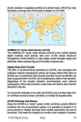
charts. Seafarer is updated monthly on a similar basis. ARCS has near
          worldwide coverage with 2700 charts available on CD-ROM.


          ADMIRALTY Vector Chart Service (AVCS)
          The  ADMIRALTY  Vector  Chart  Service  (AVCS)  is  the  world’s  leading
          digital  maritime  chart  service,  with  over  14,750  official  Electronic
          Navigational  Charts  (ENCs)  to  help  bridge  crews  navigate  safely  and
          efficiently whilst meeting Flag and Port State requirements.

          Digital Chart Data Transfer
          The IMO, in its performance standards for ECDIS, has mandated that
          individual national hydrographic offices will supply official ENC data for
          ECDIS use. A preliminary data transfer standard, known as DX 90, has
          been proposed within the IHO; IHO is debating the utility of this standard.
          Regardless  of  the  transfer  standard  recommended,  each  national
          hydrographic office that produces a data base will decide what transfer
          standard it will use.

          To ensure the reliability of the data, the ECDIS must not allow data from
          an unofficial source to erase, overwrite, or modify HO supplied data.

          ECDIS Warnings And Alarms
          Since the ECDIS is a “smart” system which combines several different
          functions into one computerized system, it is possible to program it to
          sound alarms or display warnings when certain parameters are met or
          exceeded. This helps the navigator to monitor close navigation hazards.

           © 2018 Digital Galaxy               Index                                99