
Page 96 - Electronic Navigation Cyber Book
P. 96
3. They cannot be interrogated without an additional database with a
common reference system.
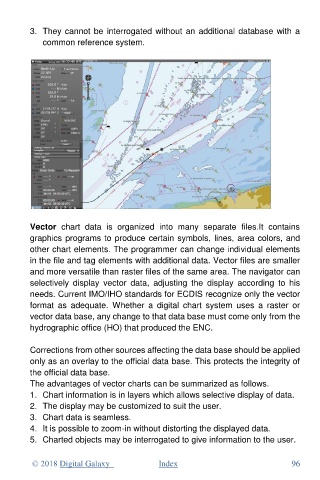
Vector chart data is organized into many separate files.It contains
graphics programs to produce certain symbols, lines, area colors, and
other chart elements. The programmer can change individual elements
in the file and tag elements with additional data. Vector files are smaller
and more versatile than raster files of the same area. The navigator can
selectively display vector data, adjusting the display according to his
needs. Current IMO/IHO standards for ECDIS recognize only the vector
format as adequate. Whether a digital chart system uses a raster or
vector data base, any change to that data base must come only from the
hydrographic office (HO) that produced the ENC.
Corrections from other sources affecting the data base should be applied
only as an overlay to the official data base. This protects the integrity of
the official data base.
The advantages of vector charts can be summarized as follows.
1. Chart information is in layers which allows selective display of data.
2. The display may be customized to suit the user.
3. Chart data is seamless.
4. It is possible to zoom-in without distorting the displayed data.
5. Charted objects may be interrogated to give information to the user.
© 2018 Digital Galaxy Index 96