
Page 70 - Electronic Navigation Cyber Book
P. 70
CHAPTER 5 AUTOMATİC IDENTİFİCATİON SYSTEM (AIS)
The Automatic Identification System (AIS) is an automatic
tracking system used on ships and by vessel traffic services (VTS) for
identifying and locating vessels by electronically exchanging data with
other nearby ships, AIS base stations, and satellites. When satellites are
used to detect AIS signatures then the term Satellite-AIS (S-AIS) is used.
AIS information supplements marine radar, which continues to be the
primary method of collision avoidance for water transport.
A marine traffic coordinator using AIS and radar to manage vessel traffic.
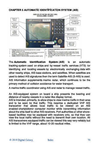
An AIS-equipped system on board a ship presents the bearing and
distance of nearby vessels in a radar-like display format.
AIS is intended, primarily, to allow ships to view marine traffic in their area
and to be seen by that traffic. This requires a dedicated VHF AIS
transceiver that allows local traffic to be viewed on an AIS
enabled chartplotteror computer monitor while transmitting information
about the ship itself to other AIS receivers. Port authorities or other shore-
based facilities may be equipped with receivers only, so that they can
view the local traffic without the need to transmit their own location. All
AIS transceivers equipped traffic can be viewed this way very reliably but
is limited to the VHF range, about 10-20 nautical miles.
© 2018 Digital Galaxy Index 70